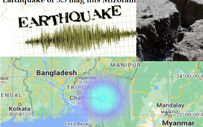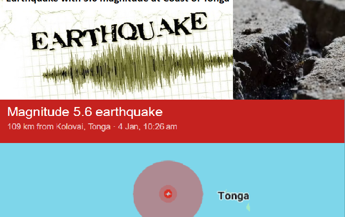
Undersea Earthquake slackened up Coast of Tonga with 5.6 mag without damage
On January 9, 2024, at 10:41 AM (Tongatapu Time), an earthquake with a magnitude of 5.6 struck under the South Pacific Ocean, approximately 175 kilometers off the coast of Tonga. The earthquake occurred at a very shallow depth of 10 kilometers, making it potentially impactful, as shallow earthquakes tend to have a larger effect.
Key Details:
Location: 242 km ENE of Nuku‘alofa, Tongatapu, Tonga.
Coordinates: 20°2'15"S 173°11'29"W.
Depth: 10 km (6 mi), classified as a very shallow depth.
Magnitude: 5.3, detected by 49 stations.
Maximum Error Range: ±0.085.
Low tsunami risk, as earthquakes under magnitude 6.5 usually do not cause tsunamis.
The earthquake may have been felt in Tonga, with Nuku‘alofa being the nearest significant population center, located 242 kilometers...