Powerful Solar Flares Trigger Global Radio Blackouts, Signal Intensifying Sun Activity
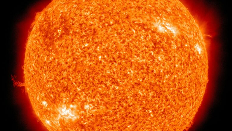
The sun erupted with two massive solar flares early Wednesday, including the strongest of 2025 so far an X2.7-class flare causing widespread shortwave radio blackouts across at least five continents. The event came just a day after NASA’s Solar Dynamics Observatory captured another major eruption, an X1.2-class flare, in a dramatic image.
Solar flares are categorized by intensity, with X-class being the most powerful. Wednesday’s solar storm peaked at 4:25 a.m. ET, delivering a strong burst of plasma and charged particles into space. This flare followed an M5.3-class flare several hours earlier, further underscoring the heightened solar activity.
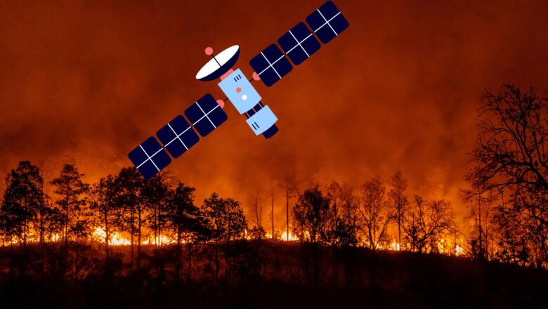
According to NOAA’s Space Weather Prediction Center, these intense flares disrupted high-frequency radio communications in parts of Nor...