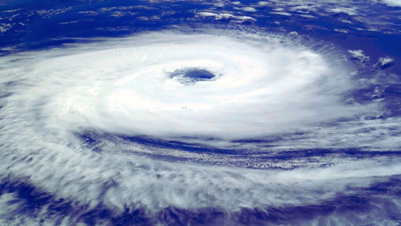
World Meteorological Day Highlights Urgency of Closing Early Warning Gap
Celebrations for World Meteorological Day took place worldwide today, focusing on closing the early warning gap and strengthening resilience against extreme weather. Organized by national weather services, events included a gathering at WMO headquarters in Geneva. Though the official day falls on March 23, global discussions continued into Monday.
Progress in Early Warnings for All
The UN Early Warnings for All (EW4All) initiative, launched at COP 28, aims to bring the world’s population under a protective early-warning system by 2027. Now at its halfway point, the initiative has seen major progress:
In 2023, 108 countries reported having some capacity for multi-hazard early warning systems more than double the 52 countries in 2015.
The initiative has saved lives, protected liv...