Wednesday, April 23News That Matters

Tag: disasters news

Avalanche Strikes Sonamarg, No Casualties Reported

Avalanche Strikes Sonamarg, No Casualties Reported

Breaking News, Climate Actions, Disasters, Environment
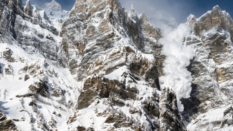
An avalanche hit Jammu and Kashmir’s Sonamarg tourist resort on Wednesday, officials confirmed. The incident occurred in Sarbal village, the last inhabited area in the Kashmir Valley. While no casualties or damage have been reported, the avalanche triggered panic among residents. Authorities are closely monitoring the situation, and precautionary measures are being taken to ensure the safety of locals and tourists. From News Desk
Delhi-NCR Jolted by 4.0 Magnitude Earthquake Residents Evacuate High-Rises

Delhi-NCR Jolted by 4.0 Magnitude Earthquake Residents Evacuate High-Rises

Breaking News, Climate Actions, Disasters
In the early hours of Monday, a 4.0 magnitude earthquake shook Delhi-NCR, sending residents into a state of alarm. The National Center for Seismology confirmed the earthquake struck at 5:36 am, with its epicenter located near Durgabai Deshmukh College of Special Education in Dhaula Kuan, New Delhi, at a shallow depth of five kilometers. The tremors were felt across Delhi, Noida, Greater Noida, and Ghaziabad, prompting residents of high-rise buildings to evacuate as a precaution. The region has a history of small tremors, with a similar 3.3 magnitude quake recorded in 2015. Local leaders quickly responded to the situation. Aam Aadmi Party (AAP) leader Atishi and the Delhi Police used social media to urge residents to remain calm and prioritize safety. Authorities assured that emergenc...
Satellite Data Reveals Warning Signs Before Anak Krakatau Tsunami Disaster

Satellite Data Reveals Warning Signs Before Anak Krakatau Tsunami Disaster

Breaking News, Climate Actions, Disasters
A new study has revealed that Indonesia’s Anak Krakatau volcano, which collapsed in a devastating 2018 eruption and triggered a deadly tsunami, had been slipping for years showing warning signs that could have been detected in advance. Researchers at Penn State analyzed satellite data and found that the mountainside had been slowly shifting before its collapse, offering valuable insight into predicting similar disasters in the future. Published in Geophysical Research Letters, the study used a technique called Interferometric Synthetic Aperture Radar (InSAR) to track surface deformation over a 12-year period. The analysis showed that the detachment fault beneath Anak Krakatau experienced approximately 15 meters (50 feet) of movement from 2006 to 2018, with notable acceleration just befo...
Without FEMA Disaster Recovery Could Crumble, Are States Ready to Go It Alone?

Without FEMA Disaster Recovery Could Crumble, Are States Ready to Go It Alone?

Breaking News, Climate Actions, Fact Check
ruins and millions in urgent need of aid. In such a crisis, the Federal Emergency Management Agency (FEMA) would typically deploy supplies, financial relief, and emergency assistance within hours. But what if FEMA no longer existed, and states had to handle disasters alone? With former President Donald Trump questioning FEMA’s future and proposing that states take over disaster recovery efforts, the debate over disaster management is more relevant than ever. Climate change is driving more frequent and severe catastrophes, raising concerns about whether states could cope without federal assistance. Role of FEMA in Disaster Relief FEMA was established in 1979 to coordinate national disaster response efforts, but the federal government has been involved in relief efforts since the 18...
State of Emergency Declared in Santorini as Earthquake Swarm Intensifies

State of Emergency Declared in Santorini as Earthquake Swarm Intensifies

Breaking News, Climate Actions, Disasters
The Greek government has declared a state of emergency on the island of Santorini as the region experiences a relentless series of earthquakes. The "earthquake swarm," which began as minor tremors in late January, has escalated into a significant seismic event, shaking the island multiple times a day. The tremors are also affecting nearby islands in the Aegean Sea, with some quakes occurring just minutes apart. Escalating Seismic Activity Over the past two weeks, seismologists have recorded thousands of earthquakes, with as many as 30 daily exceeding magnitude 4.0. The largest so far, a magnitude 5.1 quake on February 6, was felt in Athens, Crete, and even parts of Turkey, more than 240 kilometers away. The earthquakes, occurring at depths of less than 10 kilometers, are shallow enou...
Los Angeles Fires Leave Lasting Impact on Health, Environment, and Community

Los Angeles Fires Leave Lasting Impact on Health, Environment, and Community

Breaking News, Climate Actions, Environment, Fact Check
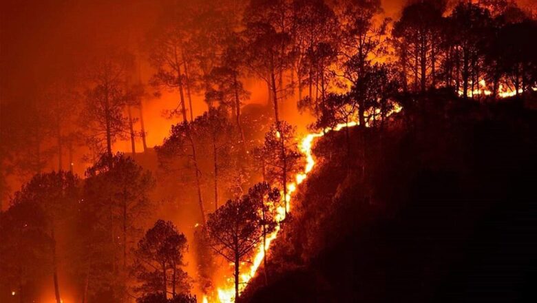
The flames may have died down, but the aftermath of Los Angeles’ devastating wildfires continues to affect public health, the environment, and daily life. Experts at a recent UCLA Fielding School of Public Health event warned that the city is facing an epochal disaster that has transformed air, soil, and institutions. Air Quality and Health Risks Even miles away from the burn zones, smoke and toxic particles have impacted the air. PM2.5 fine particulate matter from wildfires can lodge deep in the lungs, causing heart and respiratory issues, said Yifang Zhu, a professor of environmental health sciences. Even when air looks clear, volatile organic compounds (VOCs) may linger, making exposure dangerous. Michael Jerrett, an expert in climate and public health, highlighted the severe h...
Flooding After Wildfires LA Faces Growing Risk Amid Climate Change

Flooding After Wildfires LA Faces Growing Risk Amid Climate Change

Breaking News, Climate Actions, Disasters, Environment
In the aftermath of devastating urban wildfires, a rainstorm might seem like a welcome relief. However, fire-scorched landscapes are highly vulnerable to floods, which can bring further destruction. Los Angeles has experienced this repeatedly, from the 1933 Griffith Park Fire to the 2009 Station Fire in the San Gabriel Mountains and the 2018 Woolsey Fire in Malibu. Mitul Luhar, an expert in fluid dynamics and associate professor of aerospace, mechanical, civil, and environmental engineering at USC, is studying these risks. At the City of Los Angeles's Hydraulic Research Laboratory in Frogtown, Luhar and his team have developed a 1:120 scale hydraulic model of a section of the L.A. River to simulate flood scenarios. Luhar explains why floods often follow wildfires and what engineers c...
Climate Change Made LA Wildfires 35% More Likely, Study Finds

Climate Change Made LA Wildfires 35% More Likely, Study Finds

Breaking News, Disasters, Fact Check
Los Angeles witnessed one of its worst wildfire outbreaks in January 2025, and according to a new World Weather Attribution (WWA) report, human-induced climate change played a key role in making the conditions 35% more likely. The fires, which began on January 7 in Palisades and Eaton counties, quickly spread, fueled by dry vegetation and strong Santa Ana winds. Over the following weeks, additional fires erupted in San Diego County, ultimately burning over 57,000 acres and causing 28 deaths. For the first time in history, global temperatures surpassed 1.5°C in 2024. The WWA report warns that if temperatures rise to 2.6°C by 2100, the likelihood of such wildfire-friendly conditions will increase by another 35%. Clair Barnes, a researcher at Imperial College London, emphasized how p...
Kilauea Volcano Erupts Again, Offering Spectacular Displays at Hawaii Volcanoes National Park

Kilauea Volcano Erupts Again, Offering Spectacular Displays at Hawaii Volcanoes National Park

Breaking News, Climate Actions, Disasters
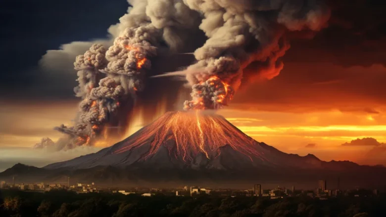
Hawaii’s Kilauea volcano has erupted once more, marking its seventh episode in a series of recent volcanic activities. The Hawaiian Volcano Observatory confirmed that this latest eruption began with minor spattering before escalating to sustained lava fountaining on Monday, captivating visitors with its fiery spectacle. Lava fountains have reached heights of 100 to 120 feet (30 to 40 meters) on the volcano’s northern side, while smaller flows have been observed to the south. This episode is part of a pattern of eruptions since December 23, with each phase lasting between 13 hours and eight days, interspersed with pauses ranging from less than a day to nearly two weeks. The current activity is expected to persist for 10 to 20 hours. Situated within the Hawaii Volcanoes National Park, ...
Storm Éowyn Bomb Cyclone Unleashes Fury Over British Isles

Storm Éowyn Bomb Cyclone Unleashes Fury Over British Isles

Breaking News, Disasters, Environment
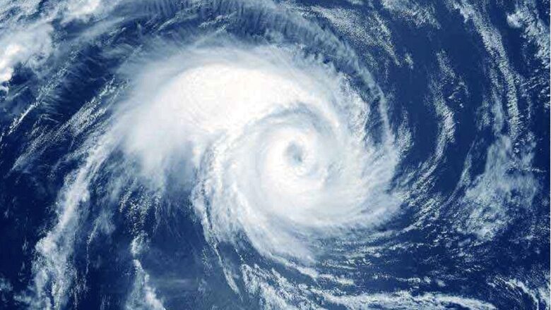
Storm Éowyn has swept across the British Isles, bringing devastating winds and record-breaking gusts, particularly to Ireland and Scotland. Meteorologists have classified this weather phenomenon as a “bomb cyclone” due to the dramatic drop in air pressure at its center a staggering 50 millibars in just 24 hours, more than double the threshold for explosive cyclogenesis. The extraordinary intensity of Storm Éowyn was anticipated, prompting red weather warnings from the Met Office and Met Éireann. These alerts covered all of Ireland and central and southern Scotland, warning of widespread gusts between 80-90 mph and up to 100 mph in exposed areas. Mace Head, on Ireland’s west coast, provisionally recorded a record-breaking gust of 114 mph. Storm Éowyn’s ferocity places it alongside inf...