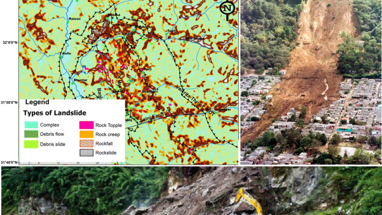
Groundbreaking Effort: IIT Delhi Researchers Develop India’s First High Resolution Landslide Risk Map
In a pioneering effort, researchers from the Indian Institute of Technology (IIT) Delhi have successfully developed the first-of-its-kind national landslide risk map. The lack of a comprehensive map has been a significant challenge, particularly in the aftermath of natural disasters. The map, which is set to be published in the February 2024 issue of the journal Catena, aims to revolutionize disaster preparedness and mitigation strategies across the country.
Unique Challenge: Landslides in India
Landslides pose a unique and deadly challenge in India, affecting localized areas and making them harder to track and study with traditional methods such as satellite imaging. Unlike floods, landslides occur in approximately 1-2% of the country, making data collection more challenging due to thei...
