Tuesday, July 1News That Matters

Tag: satellite data

Underwater Waterfalls Detected from Space Reveal Climate’s Hidden Currents

Underwater Waterfalls Detected from Space Reveal Climate’s Hidden Currents

Breaking News, Climate Actions, Environment
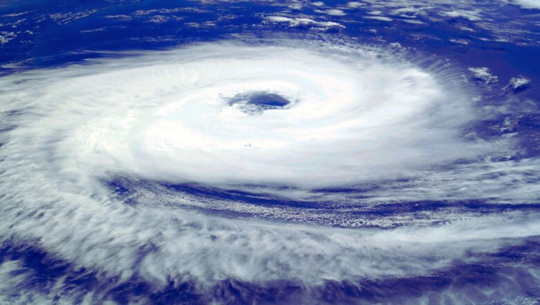
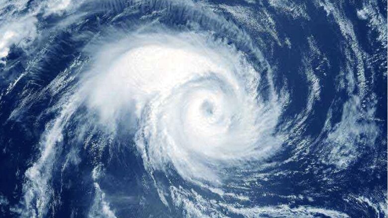
Far beneath the waves of the stormy Southern Ocean, cold, salty water plunges off Antarctica’s continental shelf like a silent underwater waterfall, fueling a vast ocean current system that helps regulate Earth’s climate. Long hidden and nearly impossible to observe, these dense water cascades are finally being seen not by ships or divers, but from space. In a groundbreaking study, researchers have used satellite data to track these powerful underwater flows by spotting tiny dips in sea level often just a few centimetres. These subtle signals, detected by satellites orbiting hundreds of kilometres above Earth, mark the sinking of cold, heavy water as it plunges to the ocean floor. This discovery opens up a low-cost, carbon-free way to monitor one of the ocean’s most important but elusiv...
Rare Triple Cyclone Event Seen on South Pacific Raising Climate Concerns

Rare Triple Cyclone Event Seen on South Pacific Raising Climate Concerns

Breaking News, Climate Actions, Disasters, Tech
Satellite imagery has captured an extraordinary meteorological phenomenon in the South Pacific, where three tropical cyclones Rae, Seru, and Alfred are simultaneously active. Stretching over 8,000 kilometers from the eastern coast of Australia into the Pacific Ocean, this rare occurrence underscores the unpredictability of extreme weather patterns. Unprecedented Cyclone Activity Amid La Niña This triple cyclone event coincides with the peak of the region’s cyclone season. Meteorologists note that while such occurrences are rare, they are not without precedent the last recorded instance was in January 2021, with cyclones Lucas, Ana, and Bina. However, what makes this event particularly striking is that it is happening during a La Niña phase, a climate pattern that typically cools ocea...
Satellite Data Uncovers Years of Warning Signs Before Anak Krakatau’s Devastating 2018 Eruption and Tsunami

Satellite Data Uncovers Years of Warning Signs Before Anak Krakatau’s Devastating 2018 Eruption and Tsunami

Breaking News, Learning & Developments, Tech
A groundbreaking analysis of satellite data has revealed that the catastrophic 2018 eruption and collapse of Indonesia’s Anak Krakatau volcano which triggered a deadly tsunami was preceded by years of subtle but accelerating movements along its mountainside. Researchers at Penn State University found that the volcano's flank had been slipping for over a decade, showing signs that could have potentially served as an early warning if monitored in real time. The study, recently published in Geophysical Research Letters, highlights how advanced radar satellites can detect minute ground deformations, helping scientists track unstable ocean volcanoes and predict possible collapses before they occur. "Ocean volcanoes, when unstable, can collapse catastrophically and generate tsunamis," expl...
Researchers Develop Advanced AI Model for Accurate Typhoon Prediction

Researchers Develop Advanced AI Model for Accurate Typhoon Prediction

Breaking News, Climate Actions, Idea & Innovations
In a significant advancement for climate science, a team of researchers from the Department of Civil, Urban, Earth, and Environmental Engineering at the Ulsan National Institute of Science and Technology (UNIST), led by Professor Jungho Im, has developed a pioneering deep learning-based model for predicting tropical cyclones (TCs). Their findings have been published in GIscience & Remote Sensing and iScience in March and May 2024, respectively. The newly developed Hybrid-Convolutional Neural Networks (Hybrid-CNN) model integrates real-time geostationary weather satellite data and numerical prediction model outputs to forecast TC intensity with lead times of 24, 48, and 72 hours. This approach offers a significant improvement over traditional methods, which often suffer from lengthy ...