Sunday, February 23News That Matters

Tag: satellite technology

Satellite Data Uncovers Years of Warning Signs Before Anak Krakatau’s Devastating 2018 Eruption and Tsunami

Satellite Data Uncovers Years of Warning Signs Before Anak Krakatau’s Devastating 2018 Eruption and Tsunami

Breaking News, Learning & Developments, Tech
A groundbreaking analysis of satellite data has revealed that the catastrophic 2018 eruption and collapse of Indonesia’s Anak Krakatau volcano which triggered a deadly tsunami was preceded by years of subtle but accelerating movements along its mountainside. Researchers at Penn State University found that the volcano's flank had been slipping for over a decade, showing signs that could have potentially served as an early warning if monitored in real time. The study, recently published in Geophysical Research Letters, highlights how advanced radar satellites can detect minute ground deformations, helping scientists track unstable ocean volcanoes and predict possible collapses before they occur. "Ocean volcanoes, when unstable, can collapse catastrophically and generate tsunamis," expl...
ISRO Successfully Launches ESA’s Proba-3 Satellites, Advancing Solar Research

ISRO Successfully Launches ESA’s Proba-3 Satellites, Advancing Solar Research

Breaking News, Space, Tech
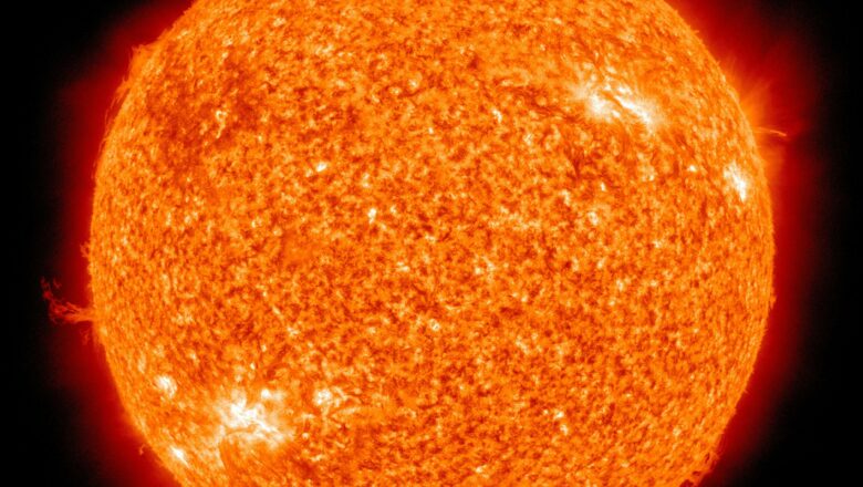
In a major milestone for space exploration, the Indian Space Research Organisation (ISRO) successfully launched the European Space Agency’s (ESA) Proba-3 satellites aboard the PSLV-C59 rocket. This groundbreaking mission, a collaboration between ISRO and ESA, is expected to revolutionize the study of the Sun's corona and solar wind, marking a new chapter in solar physics. Proba-3 focuses on the Sun's corona, the outermost layer of the Sun's atmosphere that is inexplicably hotter than its surface. The mission aims to analyze the solar wind a stream of charged particles emitted by the Sun and its impact on space weather conditions. Former ISRO scientist PV Venkitakrishnan highlighted that Proba-3’s advanced design will replicate the effects of a total solar eclipse, offering continuous ob...
Solar Surge Curtin University’s Binar Satellites Lost to High Solar Activity

Solar Surge Curtin University’s Binar Satellites Lost to High Solar Activity

Breaking News, Idea & Innovations, Space, Tech
Three Australian CubeSats from Curtin University's Binar Space Program recently burned up in Earth's atmosphere after only two months in orbit one-third of their expected mission duration. Named Binar-2, 3, and 4, these satellites were intended to last around six months in low Earth orbit but met an untimely end due to unexpected solar activity. In fact, “Binar” fittingly means “fireball” in Noongar, an Indigenous Australian language. Launched to gather scientific data and test new systems, the Binar satellites faced increased atmospheric drag caused by the Sun’s heightened activity. The Sun is currently in the peak phase of its 11-year solar cycle, known as solar cycle 25, during which solar flares, solar winds, and charged particles intensify. Recent solar indicators have shown activi...
Satellite Technology Emerges as a Lifesaver for Utilities and Disasters Impacts Assessments

Satellite Technology Emerges as a Lifesaver for Utilities and Disasters Impacts Assessments

Breaking News, Climate Actions, Space, Thoughts & Talks
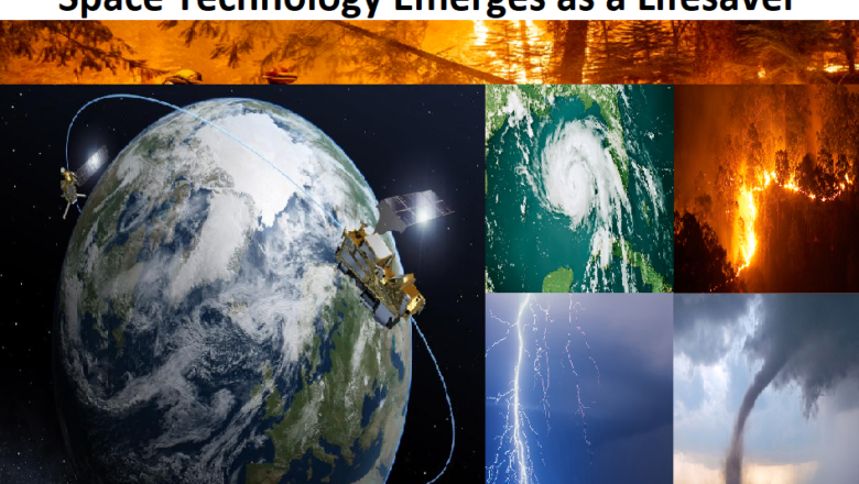
Amidst these challenges, satellite technology has emerged as a beacon of hope for utilities. Leveraging high-resolution, multispectral imaging techniques, satellites contribute significantly to disaster management, offering real-time data, continuous monitoring, and risk assessment. The advantages of satellite technology for utilities in disaster management are manifold. Accuracy and Availability of Near Real-Time Data: In times of storms and disasters, rapid response is crucial for saving lives and minimizing risks. Satellites provide accurate, continuous, and near real-time data, transcending geographical, weather, and terrain limitations. With thousands of earth observation satellites capturing data through optical, LiDAR, radar, and Synthetic Aperture Radar (SAR) imagery, utilitie...