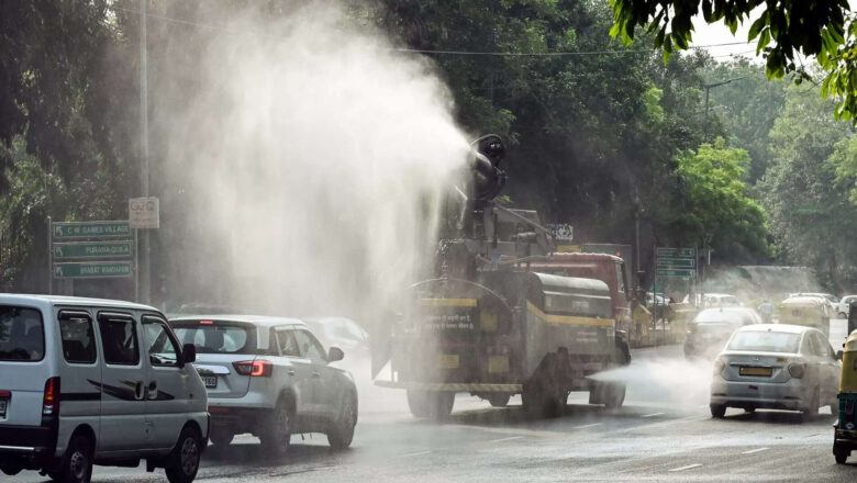
Delhi Air Quality Improves to ‘Poor ’ Category as Chilly Winds Sweeps the Capital
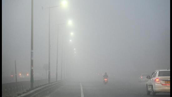
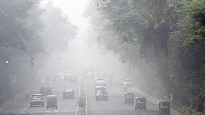
Delhi woke up to a relatively cleaner morning on Saturday as the city Air Quality Index (AQI) improved to the ‘poor’ category, bringing some relief after days of ‘very poor’ pollution levels. According to data from the Central Pollution Control Board, the overall AQI stood at 235 at 8 am, aided by stronger winds and a drop in fog intensity.
The improvement marked a steady decline in pollution levels over the past 24 hours. On Friday morning, the AQI was recorded at 311, which reduced further to 236 by late afternoon, compared to 380 at the same time a day earlier. Weather officials said average wind speeds of around 12 kmph overnight helped disperse pollutants and lift dense fog across the region.
Data from key monitoring stations showed mixed but improving trends...