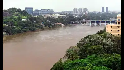
Rain Spurs Pune Citizens to Track River Levels With Just a Phone
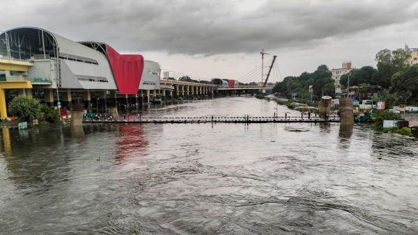
As heavy rains lashed Pune this week a small group of volunteers armed with nothing more than their smartphones set out along the Mula-Mutha river. Their mission: to capture photos and videos that will help map how the city’s rivers respond to sudden downpours.
The initiative called Nadimitra Water Level, is part of a larger citizen-science movement to monitor rivers in real time. Participants use EpiCollect5, an app developed at Oxford University, to upload images and location-tagged data. This crowdsourced information is then analysed against previous measurements to estimate water levels without the need for expensive equipment.
“Volunteers don’t measure water directly,” explains retired engineer Prashant Shevgaonkar, one of the organisers. “We rely on steps at ghats or the pixel ...